
Best Travel Apps for Nepal 2026 – Offline Navigation and Safety Tools
 Sristi Adhikari
When exploring the busy streets of Kathmandu Valley to the remote terrain of the Himalayas in Nepal, having one of the best travel apps for Nepal on your smartphone can make your journey easier, safer, and more enjoyable. Nepal navigation apps will help you plan routes, find important locations, communicate with locals, monitor weather, and stay prepared when mobile connectivity disappears.
Nepal is not a destination where you should depend entirely on network connectivity. Mountain valleys, high-altitude trekking routes, rural villages, and some remote highways can have limited or unreliable connectivity which is why you need to do offline preparation in advance. When searching for the best travel apps for Nepal, you need to also consider the factor of whether it continues to work even when the internet connection is weak or completely available.
So, lets dive deeper into offline maps for Nepal with GPS navigation, trekking tools, translation apps, weather services, location-sharing tools, and practical apps which enhance your Nepal trekking journey in 2026.
Importance of Offline Maps in Nepal
Nepal trekking trails trek you to the base of the popular eight-thousands where you need to spend multiple days hiking in remote trails without seeing any settlement for hours and hours. This is when your smartphone becomes an incredibly useful travel companion.
A good collection of best travel apps for Nepal can help you:
- Navigate Kathmandu and other cities
- Download maps before trekking
- Follow hiking trails without mobile data
- Check your GPS location
- Plan trekking routes
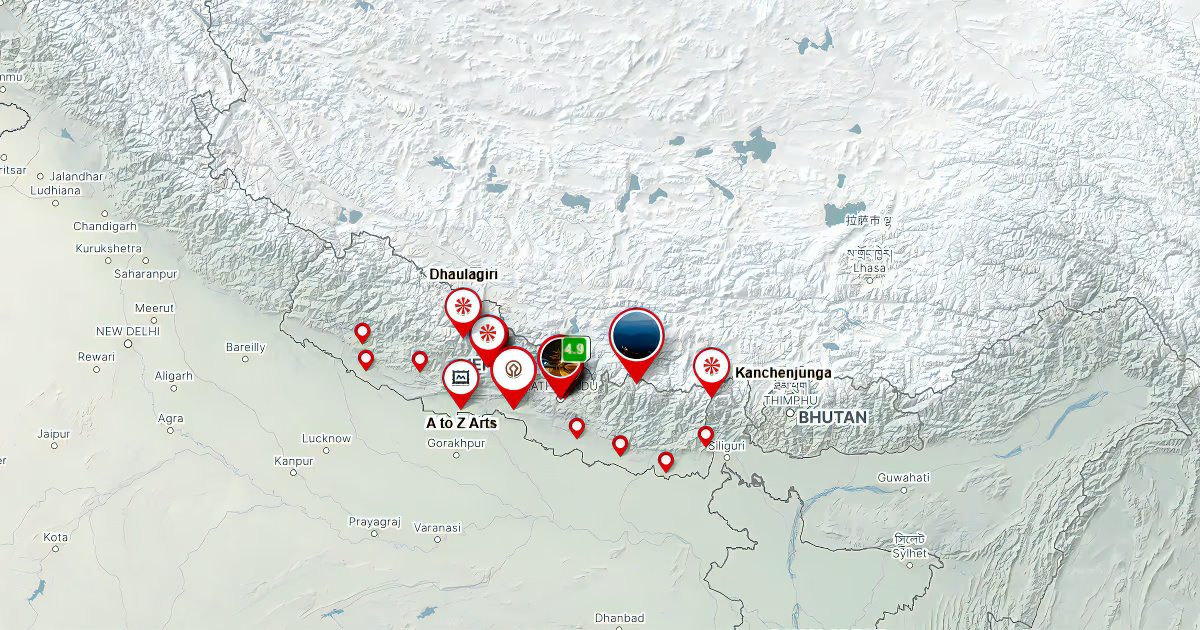
- Identify mountain peaks
- Translate Nepali signs and conversations
- Check weather forecasts before leaving
- Save emergency information
- Share your location with other member of groups
- Find hotels, restaurants, transport, and attractions in urban areas.
- Help you save money on mobile data.
Offline mapping, GPS, weather, translation, and route-planning apps are some of the best tools you should have before you step on the trailhead in 2026.
Best Travel Apps for Nepal 2026
Google Maps- Best for City Travel
Google Maps is one of the most useful and best travel apps for Nepal. The app provides details on urban destinations like Kathmandu, Pokhara, such as where to stay, where to eat, where to go.
Google explains that travelers can save selected areas to their devices and use them when they are offline, although offline functionality has limitations. You can download it for free and it is found in Google play store.
Some of the best feature of Google maps are:
- Find hotels and restaurants
- Locate attractions
- Plan driving routes
- Check locations before leaving Wi-Fi
- Save important places
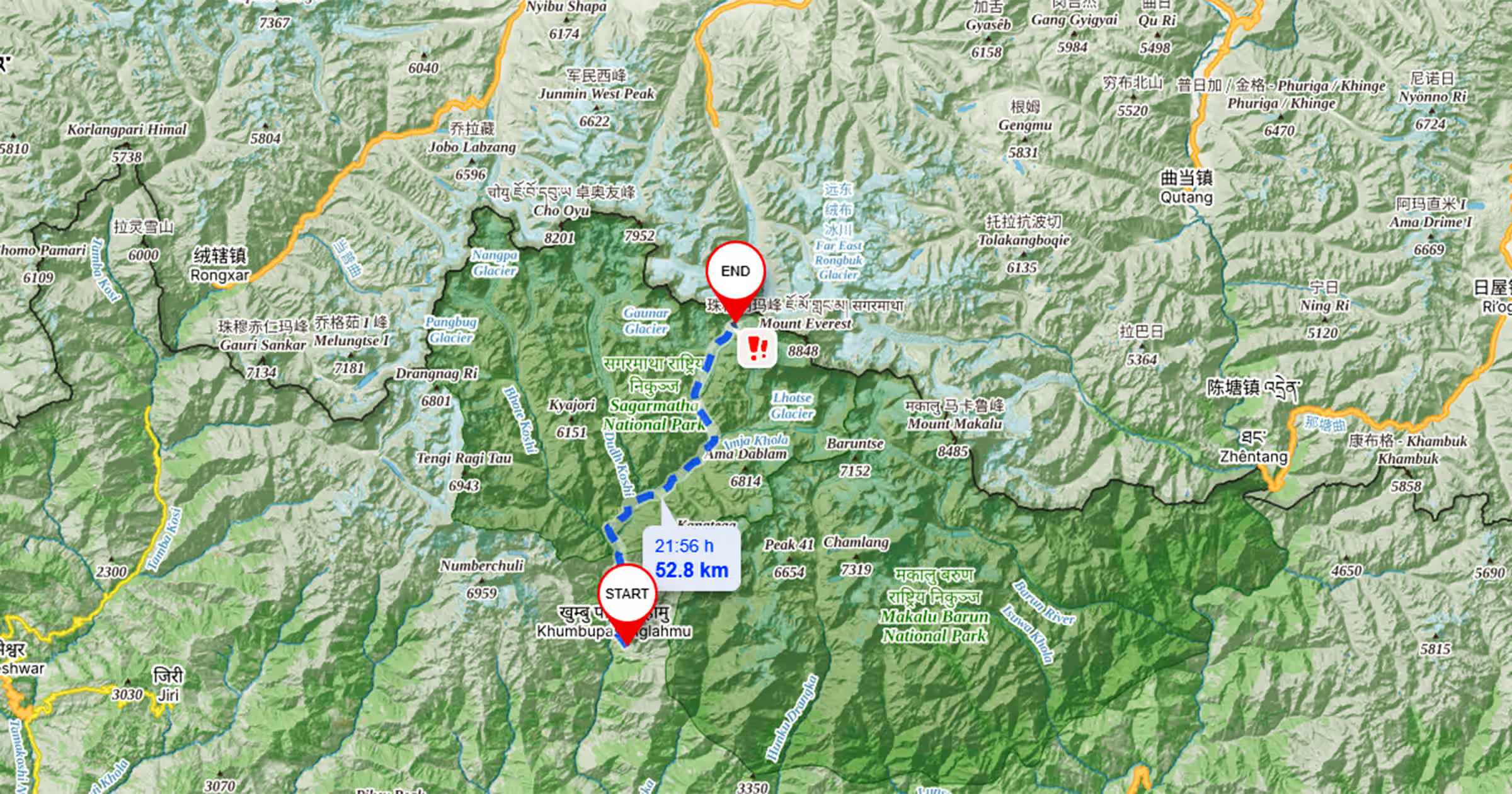
- Download selected areas for offline use
- Navigate around Kathmandu Valley with details on direction
- GPS tracking features
- Real time traffic updates with 360 degrees street-view.
With the above mentioned feature, Google app stands as one of the best travel apps for Everest Base camp, Annapurna trek, etc.
Organic Maps – Excellent for Nepal Offline Maps
If you are in search of specific Nepal offline maps, you should definitely download Organic Maps from Google play store. You can gain information on hiking trails, walking paths, contour lines, elevation information, peaks, and GPX files as it can function well even without any internet connection. Key features of Organic Maps include:
- Detailed offline maps
- Offline search
- Hiking trails
- Walking routes
- Contour lines
- Elevation profiles
- Peaks and slopes
- GPX import and export
- Offline navigation
- No advertising
- OpenStreetMap-based mapping
If you are planning to explore hiking trails of Nepal alone, Organic Maps can be one of the best travel apps for Nepal with its backup navigation feature.
OsmAnd – Powerful Offline Navigation for Trekkers
With free and open source maps, OsmAnd is another best travel app for Nepal. You can download it free from the App store and Google play store and use OpenStreetMap (OSM) database for its maps. You can use it free of cost to download offline maps.
The best feature of OsmAnd includes:
- Detailed offline maps for trekkers
- GPS positioning with Topographic information
- Hiking and walking paths,
- GPX support,
- Points of interest and overlay of digitalized maps
- and optional terrain information without a premium subscription.
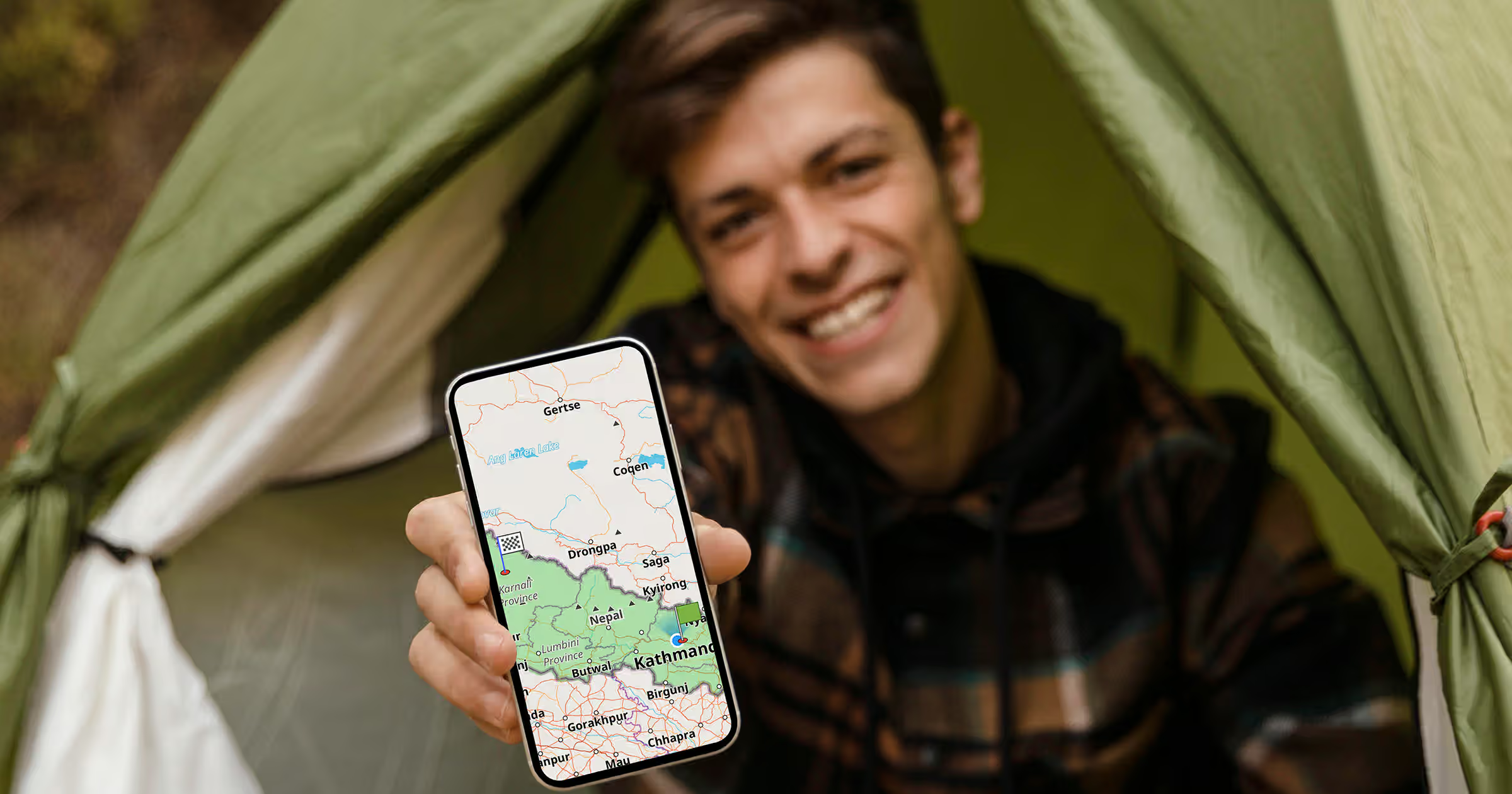
When searching for Nepal GPS apps, OsmAnd deserves a place on your shortlist as it allows you to know more about routes, altitude related data, and GPX tracks. This is why it is offline maps for trekking Nepal such as:
Maps.me – A Popular Offline Mapping Option
The offline mapping capabilities is making Maps.me stand on the lists of the best travel apps for Nepal. Nepal travel and trekking resources frequently recommend Maps.me for travelers heading into areas with limited connectivity.
You should definitely use it for downloading maps, locating trails and landmarks, bookmarking important locations, and navigating with GPS when offline. Maps.me can be particularly useful when you want to save:
- Villages
- Guesthouses
- Viewpoints
- Trail junctions and features
- Water sources
- Important landmarks
- Gps-tracking with option of location sharing
Trekking destinations such as Annapurna Circuit with Tilicho lake trek and Langtang valley trek regions can be more memorable with best GPS apps for Nepal hiking such as Maps.Me.
Mapy.com – Excellent for Hiking and Topographic Maps
Mapy.com is another best travel app for Nepal, particularly for outdoor navigation. Its offline-map system allows you to download countries or selected regions and use them without an internet connection such as:
- Map viewing,
- Searching,
- Route planning, and
- Navigation
- Offline maps
- Hiking routes
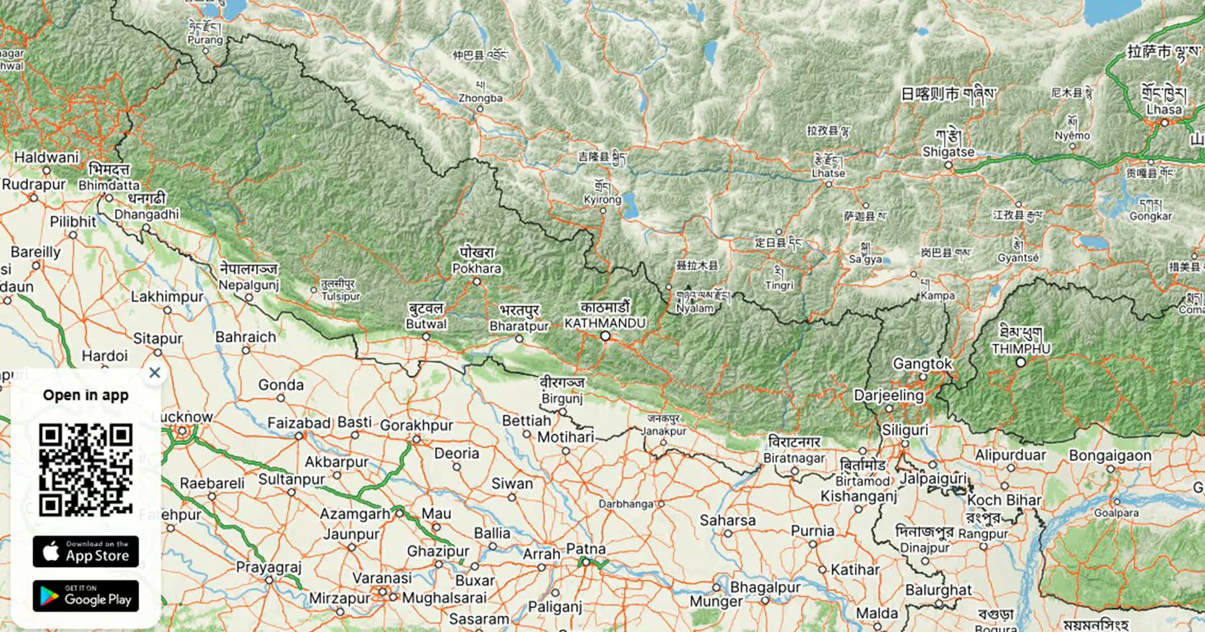
- Topographic information
- Route planning
- GPS navigation
- Outdoor map layers
- Offline searching
- Elevation-related information
You can use the free version you keep as an offline-map country such as Nepal.
Google Translate – Best Offline Translation Tool
Language can become a challenge when traveling outside major tourist centers such as remote trekking destinations or countryside exploration. Google Translate is therefore one of the most practical best travel apps for Nepal for international visitors.
Google allows users to download language packs for offline translation. Once downloaded, supported languages can be used without an internet connection.
When using Google Translate for Nepal, make sure you do following measures before leaving your hotel Wi-Fi:
- Open Google Translate.
- Select your primary language.
- Find Nepali.
- Download the available offline language package.
- Then, make sure you test translation by keeping your phone in airplane mode.
It also has a features of translating text through your phone camera when the relevant offline language support is available and you can use it for:
- Menus
- Road signs
- Food labels
- Basic conversations
- Hotel information
- Transport information
- Trekking instructions
For travelers specifically searching for Nepal travel apps without internet, an offline translation package is one of the easiest preparations you can make in 2026.
Windy – Essential for Mountain Weather Planning
Weather should be a major consideration when selecting the best travel apps for Nepal. Mountain weather fluctuates within a second, Windy help you with necessary weather information no matter whether you are planning to trek in
- Manaslu circuit trek,
- Tsum valley trek,
- Mardi himal trek,
- Nar phu valley trek.
The best feature of Windy apps includes:
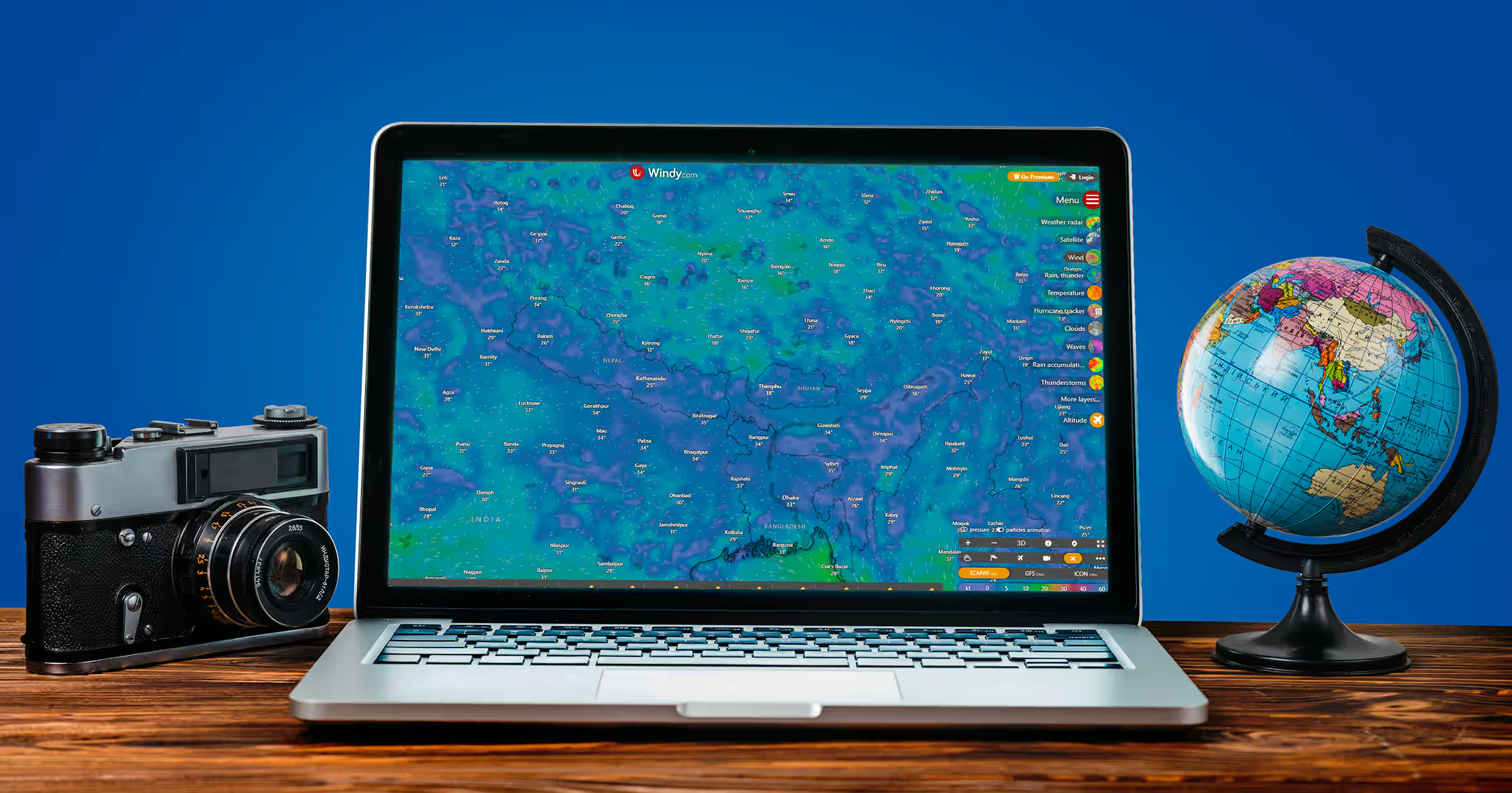
- Detailed weather information such as rain, wind, temperature, snow, cloud cover, etc.
- Multiple forecast models,
- Radar and satellite layers,
- Weather warnings, and
- Route-planning features.
What3words – Useful for Sharing Precise Locations
what3words takes a different approach to location sharing and with its three-word address system, it can find locations and navigate to them even without cellular or data connectivity. This is due to its GPS tracking system and you can use it when referring to location for.
- Meeting points,
- Trailheads,
- Remote camps,
- Roadside pickup points,
- Viewpoints, and
- Emergency coordination in high altitude
Planning a Treks in Nepal in 2026?
Or Call/Message on WhatsApp +977 98434 13619
You should know that sharing a what3words address with another person is only possible with connectivity, even though finding your location can work offline. This is why it is included inside the list of the best offline map apps for Nepal trekking in 2026.
PeakFinder – Identify Himalayan Peaks
PeakFinder is a fun but practical addition to the best travel apps for Nepal. The app identifies mountain peaks based on your location and can display surrounding peaks with their names and height.
You can also download data for offline use via this app, PeakFinder and is best suited if you are traveling to get the best view of Himalayan mountains. It can make a sunrise viewpoint, mountain flight, or trekking day more informative.
The best features of PeakFinder:
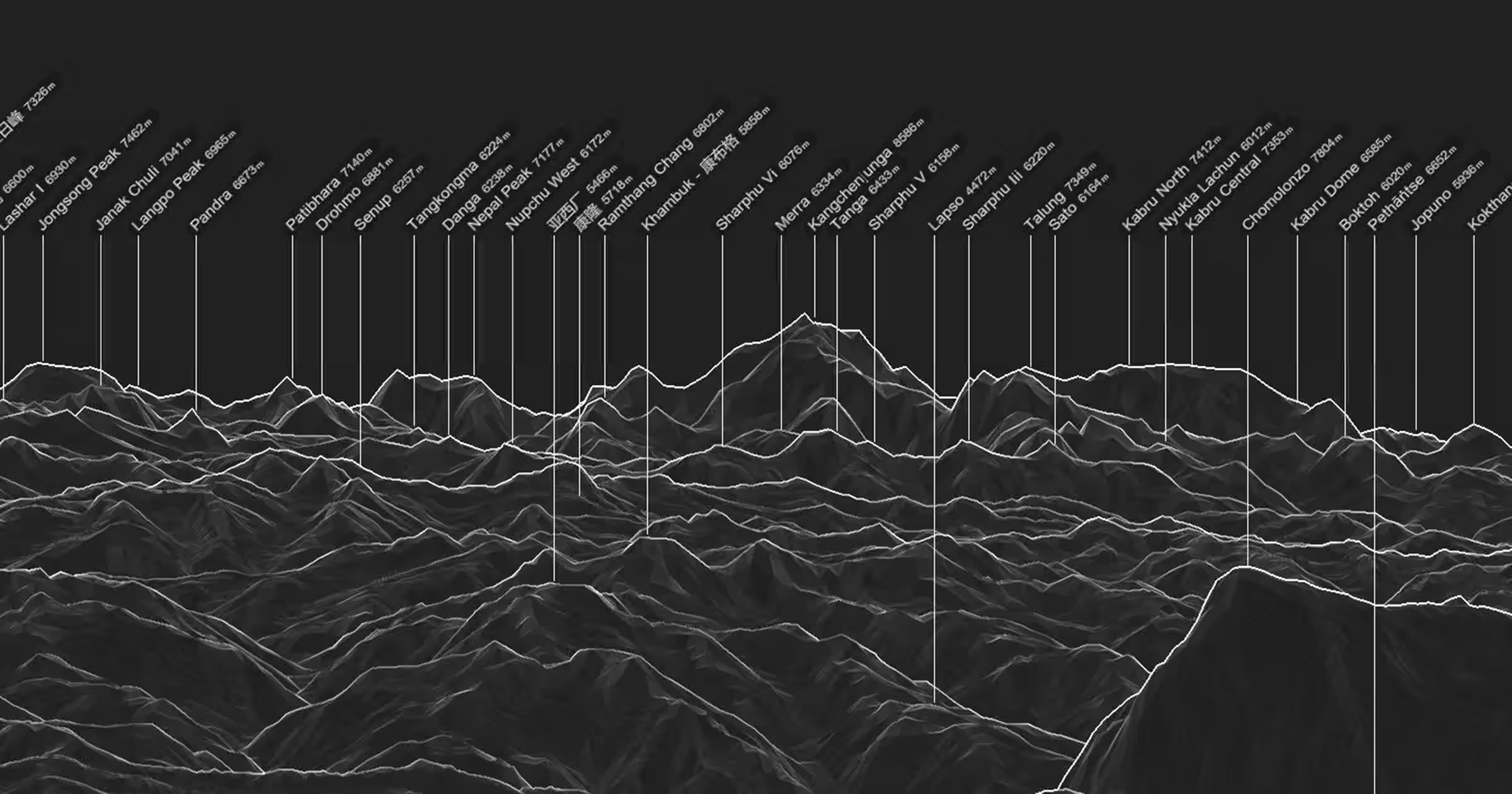
- Mountain with height and name from Pokhara, Nagarkot, Poon Hill etc.
- Perfect for Himalayan photography
- Mountain identification of over 850,000 peaks
- Education and fun aspect of trek
It is not a substitute for a navigation app, but it is a great companion for mountain travelers.
Accuweather –Weather Radar
The other best travel app for Nepal is Accuweather App. Its exact weather forecast facility is making it one of the most trusted apps for Nepal trekking. If you are planning to do Annapurna base camp helicopter tour and the Everest base camp helicopter tour with Kala Patthar landing make sure you download it.
- You can use it freely and this easy going app has following features:
- Precipitation forecast with minute by minute
- Showcases weather factors like wind, humility, and sun.
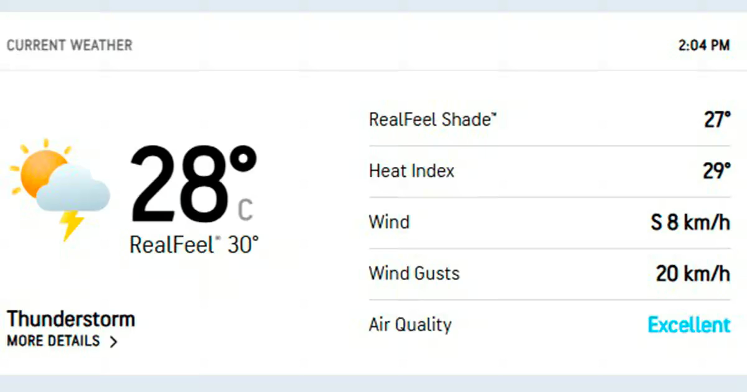
- Details on radar views such as storm tracking, snow, rain, ice, and temperature changes.
- Can personalize according to your location and preference.
- Features Global weather maps.
XE Currency – Transfer and Currency
XE Currency app serves as one of the best travel apps for Nepal. You should definitely download it so that you can keep track of current Nepalese rupees prices. The key feature of the XE currency application are:
- Conversion of 180 currency in real time,
- Track high-rated currencies,
- Can send money to more than 200 countries within a minute of time,
- Convenient payment via bank transfer, debit/crdeit cards, and mobile apps.
Nepal Police App–Off
The Nepal Police App is a useful safety tool among the best travel apps for Nepal. It offers travelers convenient access to police services and important emergency information.
It can be especially helpful when exploring unfamiliar areas of Kathmandu or traveling through remote regions of Nepal and you can easily download it via Google play stores and app stores. Key Features of Nepal Police App are:
- Access to Nepal Police services
- Emergency and police contact information
- Option to report incidents
- Useful safety information for travelers
- Helpful during emergencies and unexpected situations
- Supports safer travel across Nepal.
First Aid App –American Red Cross
The American Red Cross First Aid app is a useful safety tool for travelers and trekkers. It is one of the best travel apps for Nepal as it provides quick access to first-aid guidance when professional medical help may not be immediately available.
It can be especially helpful on remote Nepal trekking routes, where reaching a medical facility may take time. Key Features of American Red Cross First Aid app:
- Free of cost,
- Step-by-step first-aid instructions,
- Guidance for common injuries and emergencies,
- Simple, easy-to-follow instructions,
- Helpful information for outdoor and travel emergencies,
- Can provide first-aid guidance even in an offline conditions,
- Useful for trekkers, hikers, and adventure travelers.
Do Nepal GPS Apps Work Without Internet?
Yes. GPS positioning itself does not require a mobile data connection and it will show your exact location. The app collects the data locally and uses it even without Internet connection.
GPS can locate you without the internet but you will still need an app to download map data to show roads, trails, landmarks, and other information. This is another reason, Nepal GPS Apps serve as the best travel apps for Nepal and you should definitely test it offline before you start your trek.
Final Thoughts on Best Travel Apps for Nepal 2026
Travelling to Nepal demands enough preparation and confidence which is why you should download these best travel apps for Nepal in 2026. Do not wait until you reach a remote Himalayan village to discover that your map was never downloaded.
Do not assume your weather app will work without connectivity. And do not keep your emergency information only in an online email account. Make sure you download these Nepal offline maps such as Google Maps, OsmAnd, Maps.me etc before you leave urban cities of Nepal like Kathmandu or Pokhara.
Having a backup navigation app, download Nepali translation data, the latest weather forecast, save important contacts, charge on your power bank, and make sure someone knows your plans before heading into remote areas so that you can have a more memorable mountain trekking.
Are you ready to plan your Nepal trip with confidence—explore the Best Travel Apps for Nepal and let Awesome Holidays Nepal help you turn your trekking and travel plans into an unforgettable Himalayan experience in 2026.
FAQs
Expand AllWhat are the best travel apps for Nepal?
Google Maps, Organic Maps, OsmAnd, Mapy.com, Google Translate, Windy, PeakFinder, XE Currency, and safety-focused apps are some of the best travel apps for Nepal.
Which offline map works best in Nepal?
Offline map like Organic Maps, OsmAnd, Mapy.com, and Maps.me works best in Nepal.
Do I need offline maps for Nepal trekking?
Yes, offline maps are highly recommended for Nepal trekking.
What apps work without internet in Nepal?
Organic Maps, OsmAnd, Maps.me, Mapy.com, Google Translate with downloaded language data, and some GPS tools work without internet in Nepal.
Is Maps.me good for Nepal?
Maps.me provides downloadable offline maps, GPS navigation, and access to many roads, trails, landmarks, and points of interest which make its best for Nepal.
Which navigation app works in Kathmandu?
Google Maps is one of the most convenient navigation apps for Kathmandu. You cans also use Organic Maps and OsmAnd as offline alternatives.
What is the best GPS app for trekking in Nepal?
OsmAnd, Organic Maps, and Mapy.com are the best GPS app for trekking in Nepal.
Can I use Google Maps offline in Nepal?
Yes. You can download selected areas of Nepal in Google Maps and use them offline.
What apps do I need for Everest Base Camp trek?
The necessary travel apps for Everest Base Camp trek includes OsmAnd or Organic Maps for offline navigation, Windy for weather, Google Translate, PeakFinder, XE Currency, and emergency or safety apps.
Which apps work in Nepal without data?
Organic Maps, OsmAnd, Mapy.com, and Maps.me work in Nepal without data.
What are essential apps for Nepal travel?
The essential apps for Nepal travel includes Google Maps, an offline map app, Google Translate, Windy, XE Currency, PeakFinder. You will also need local transport or payment apps, and a reliable safety or emergency app.
How to download offline maps for Nepal?
At first, open your preferred mapping app while connected to Wi-Fi, then search for your destination. Select the offline-map or download option, and save the entire area you expect to visit before trekking.
Does Pathao work in Nepal?
Yes, Pathao operates in Nepal serve as best ride-hailing and delivery in supported locations.
What taxi app works in Kathmandu?
Pathao, Indrive, Yango, etc are some of the apps which offers taxi service in Kathmandu.
Is there a Nepal-specific travel app?
TravelNepal+, Trip Turbo, HoneyGuide, Ncell & Nepal Telecom (NTC) Apps are some of the travel apps which is Nepal-specific.
What apps help with altitude sickness in Nepal?
TrekGuard for ascent alerts and My Altitude for elevation tracking help with altitude sickness in Nepal.
Can I use Uber in Nepal?
No. Uber app is not available in Nepal.
Which payment app works in Nepal?
Apps like eSewa, Khalti, and Fonepay works well in Nepal.
How to use PeakFinder in Nepal?
At first, Open PeakFinder at a scenic location in Nepal. Then, allow location access, and point your phone toward the mountains to identify surrounding Himalayan peaks. You will get offline peak information available after downloading the relevant data.
What is HoneyGuide app Nepal?
A trekking and travel platform which is specially designed to provide useful information and digital resources for travelers exploring trekking destinations of Nepal is called HoneyGuide app.
Related blog posts
Discover a choice of tourist destinations loved by most of our visitors. Whether you're on a jungle safari to spot rare animals or walking through a world heritage site, these well-planned itineraries cover the major highlights of Nepal.



 call an expert at: